We have started serving observations to our first customers. Be one of them!
Earth Observation Intelligence
for every industry
We are revolutionizing large-area observation with advanced high-altitude balloon technology, delivering critical insights from the stratosphere to support decision-making across diverse sectors and applications.
By the Numbers
600%
Higher quality than average satellite imagery
15×15 cm
10×10 cm if requested
50%
Lower cost than existing monitoring methods
800km²
covered continuously with one device
10 min
Data latency after capture
600%
Higher quality than average satellite imagery
15×15 cm
10×10 cm if requested
50%
Lower cost than existing monitoring methods
800km²
covered continuously with one device
10 min
Data latency after capture
Why Resoloon?
Drone
Limited altitude capabilityCan't fly higher than a few hundred meters
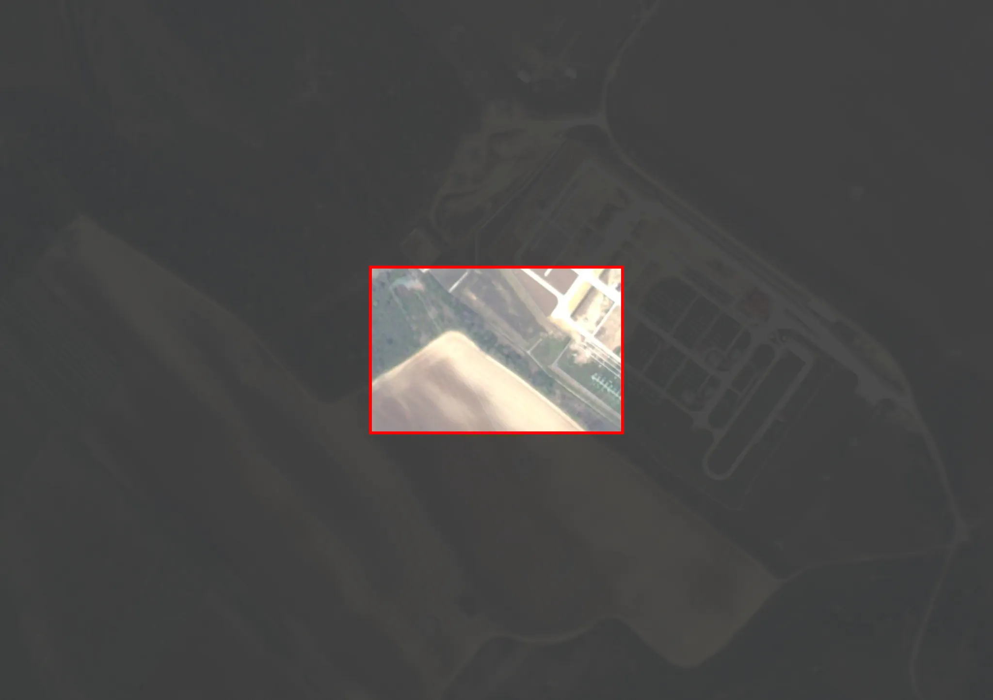
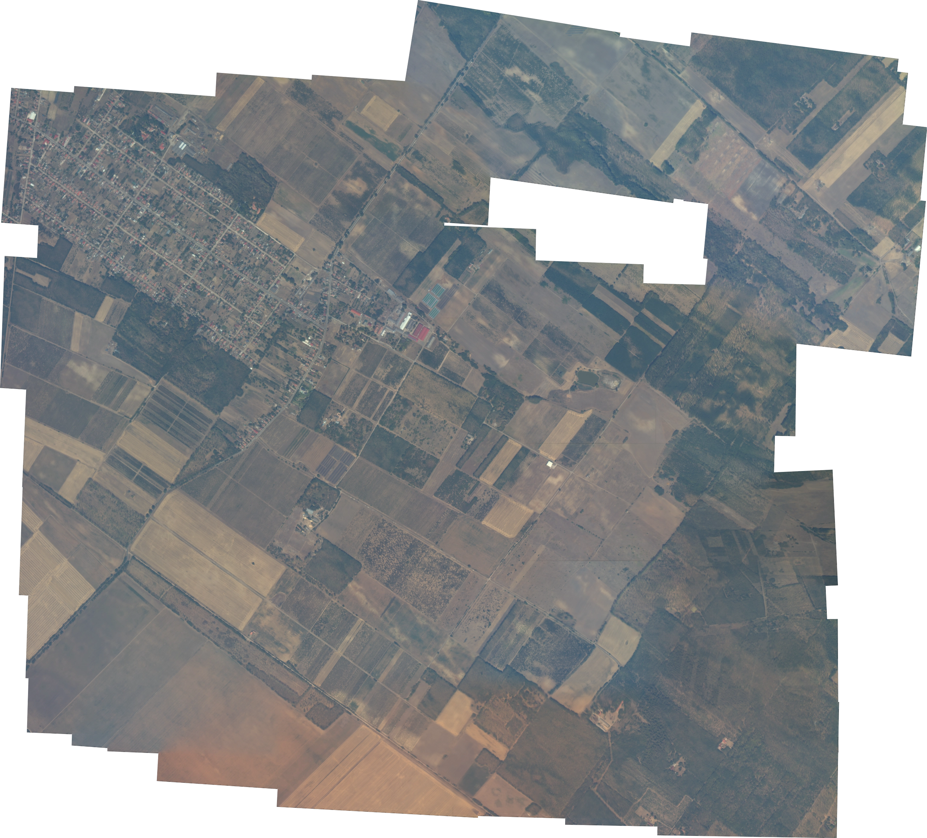
"Most drones can't fly higher than a few hundred meters. Most satellites can't see details smaller than 1 meter. Our balloon flies at 30000 meters - and sees this... And that's not even close to what we're aiming for."
Resoloon revolutionizes large-area monitoring with high-altitude balloon technology that delivers continuous, high-resolution imagery from the stratosphere.
Our system provides unprecedented visibility across diverse industries - from agriculture and insurance to disaster response and infrastructure monitoring.
Who We Serve & How
We see it first.You make the call.
What We Offer
Resoloon offers a high-altitude balloon system capable of monitoring vast areas with unprecedented precision. Our system provides ultra-high-resolution images with a resolution of 10x10 cm, delivering approximately 600% higher quality than average satellite imagery across coverage areas up to 800km².
Ready to Transform Your Monitoring Capabilities?
Discover the power of stratospheric intelligence.
With Resoloon's advanced high-altitude imaging solutions, gain unprecedented insights that transform your operations across diverse sectors.
Backed By